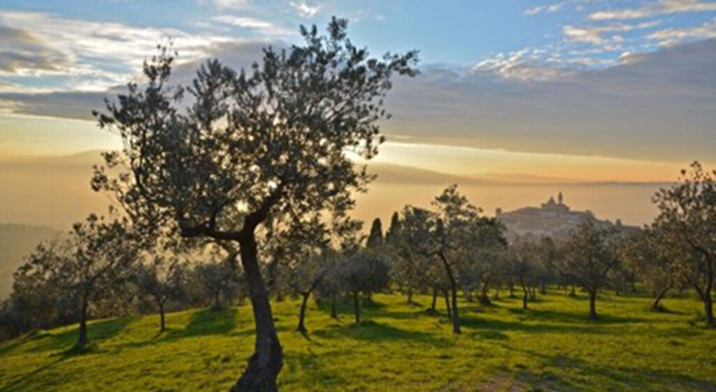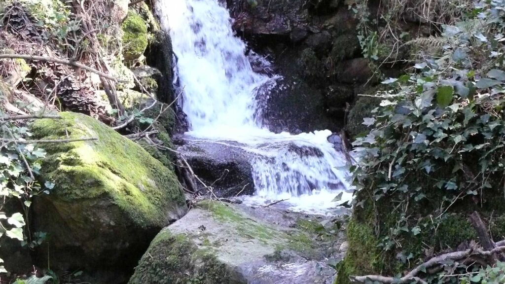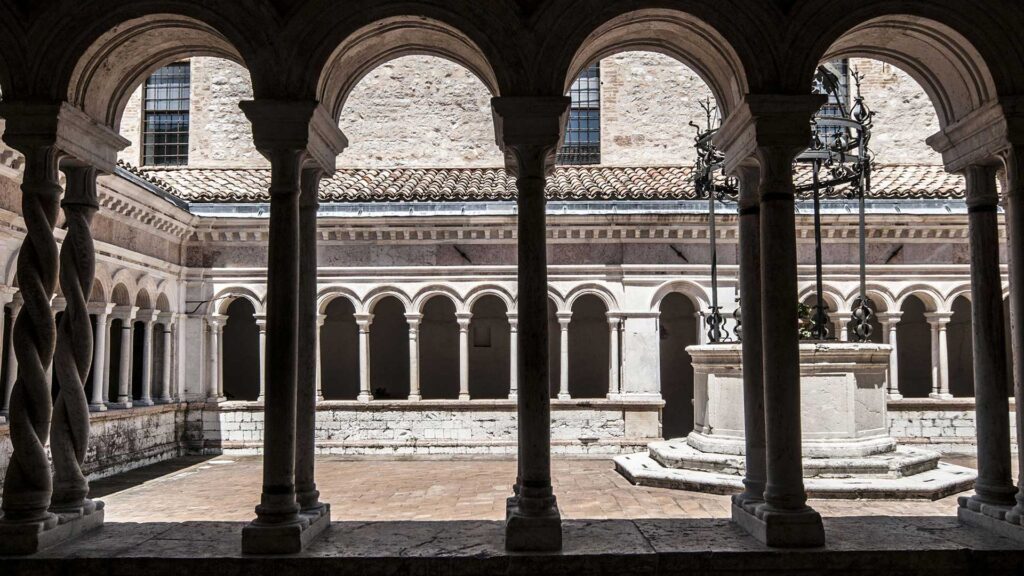
Clear, sweet fresh water: Sassovivo, Pale and Rasiglia
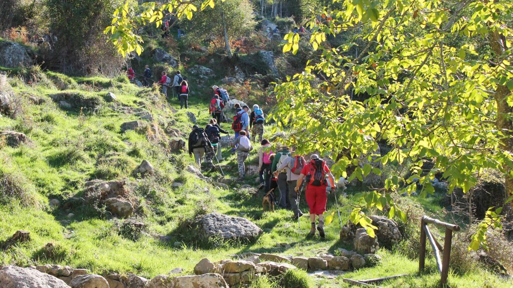
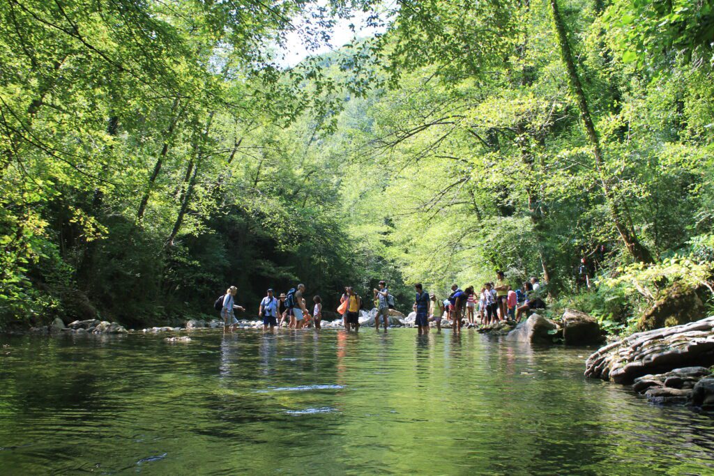
Trail name and description Location: Umbria (Italia) 42°57’24” N 12°45’43” E Level & Scale of difficulty used for hiking E (For more info have a look here) Duration 6 hours Distance 15 km Refreshing points Pale – Ponte S.Lucia – Scopoli – Rasiglia Shelters None Best period for hiking from March to November, especially May […]
Clear, sweet fresh water: Sassovivo, Pale and Rasiglia Read More »