Trail name and description
- Circular Anento, Aguallueve y Arguilay de Báguena
- Anento, Zaragoza
- N 41° 4' 12.859'' E 1° 20' 3.777''
Level & Scale of difficulty used for hiking
E (For more info have a look here)
Duration
3,35 hours
Distance
11,36 km
Refreshing points
there is a fountain at the castle
Shelters
Arguilay has a recreational area for picnics as well as Aguallueve
Best period for hiking
all year long with the best period being rom late June to mid-September
Climate
summers are short, hot, dry and mostly clear, and winters are long, very cold, snowy, windy and partly cloudy. During the course of the year, the temperature generally varies from -0 °C to 29 °C and rarely drops below -5 °C or rises above 33 °C
how to reach the starting point
From Zaragoza, take the A-23 towards Teruel take exit 206 to Lechón
Equipment and outfit required
a bottle of water, as it is not always possible to stock up on water on the way, a hat, windbreaker, whatever you consider indispensable on a personal level, remembering not to make the rucksack unnecessarily heavy, hiking footwear.
*Website: http://www.anento.es/turismo/naturaleza/aguallueve/
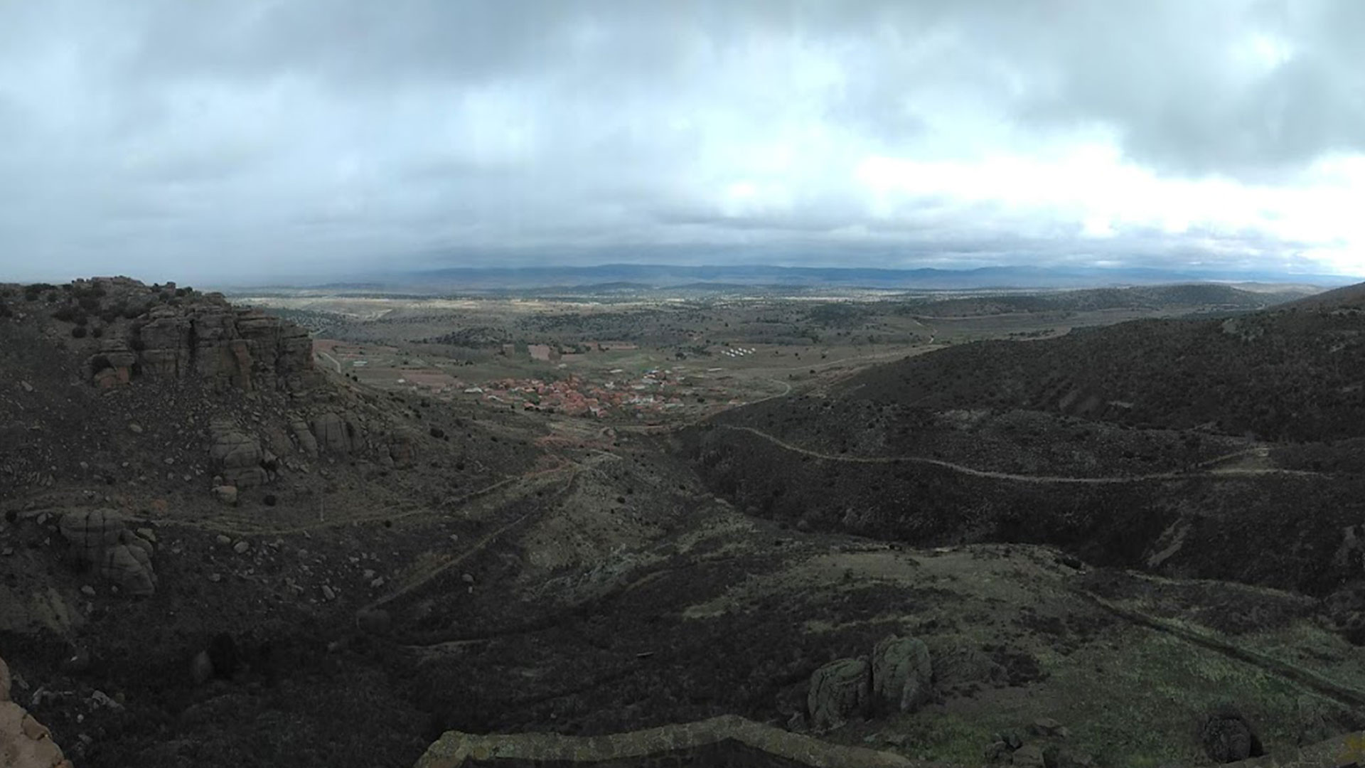
Anento castle is a rock castle of small dimensions, due to the fact that the surface of the hill where it is located measures around 40 metres in axis. The eastern side of the castle, where the moat is also located, is the best preserved.
The town is famous for its sausages derived from the slaughter of pigs, some of which are very popular in the surrounding area, such as fardeles, made from spiced pork liver and lean pork. As you would expect, roast veal is another of the most popular dishes to eat in Anento.
- It is worth mentioning the honey that is made here, flavoured with plants from the surrounding area; the remains of an old beehive can still be visited in the streets of the town.
- The local bread oven. It is located inside a house that is currently used as a multi-purpose centre (or teleclub). The oven is embedded in one of the walls of the building. It was used to bake the community’s bread. Nowadays, they are only lit for festivities, when typical local gastronomic products are made.
- Several hemispherical stone constructions can be found in the village, also known as the iceboxes. During the winter months, the village used to collect ice and store it for domestic use or sale in the following months, while it lasted. In summer, it was used to store fresh food and drink, which the harvesters took to the fields to work for the duration of the day.
Useful links: