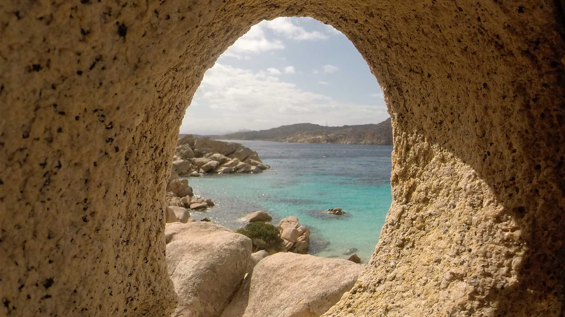
Trail name and description Caprera island, path number 10 to “Cala Coticcio” Northern Sardinia (Italy) 41°22645’N 009°47447’E Level & Scale of difficulty …
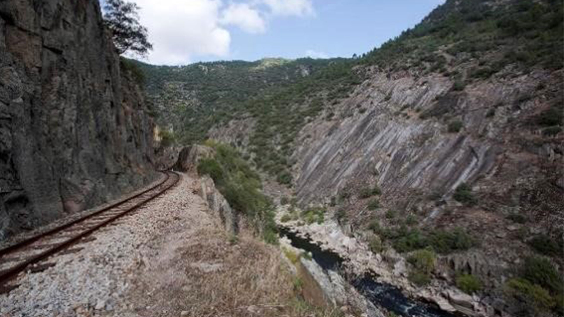
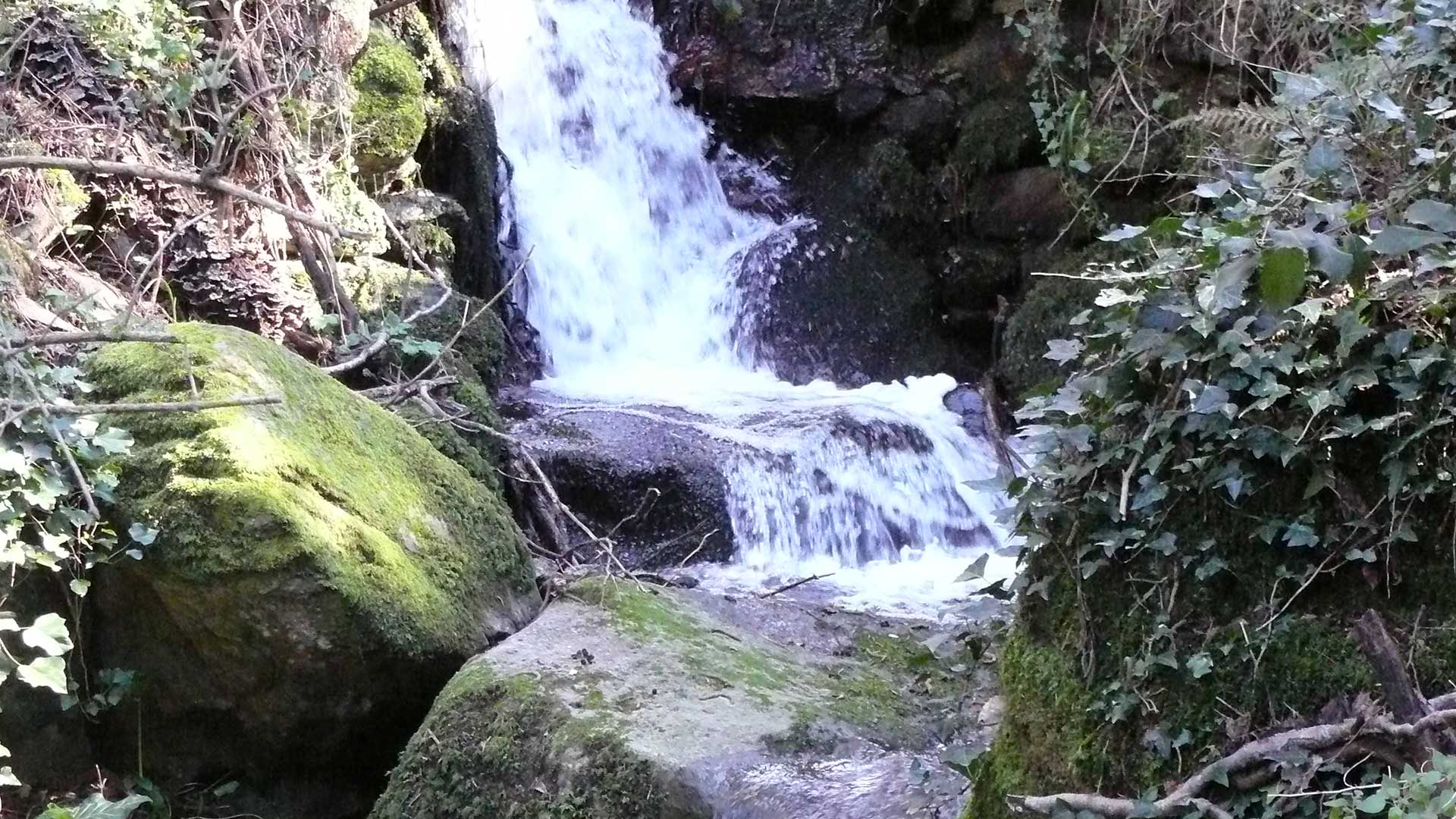
Trail name and description Circular Anento, Aguallueve y Arguilay de Báguena Anento, Zaragoza N 41° 4′ 12.859” E 1° 20′ 3.777” Level …
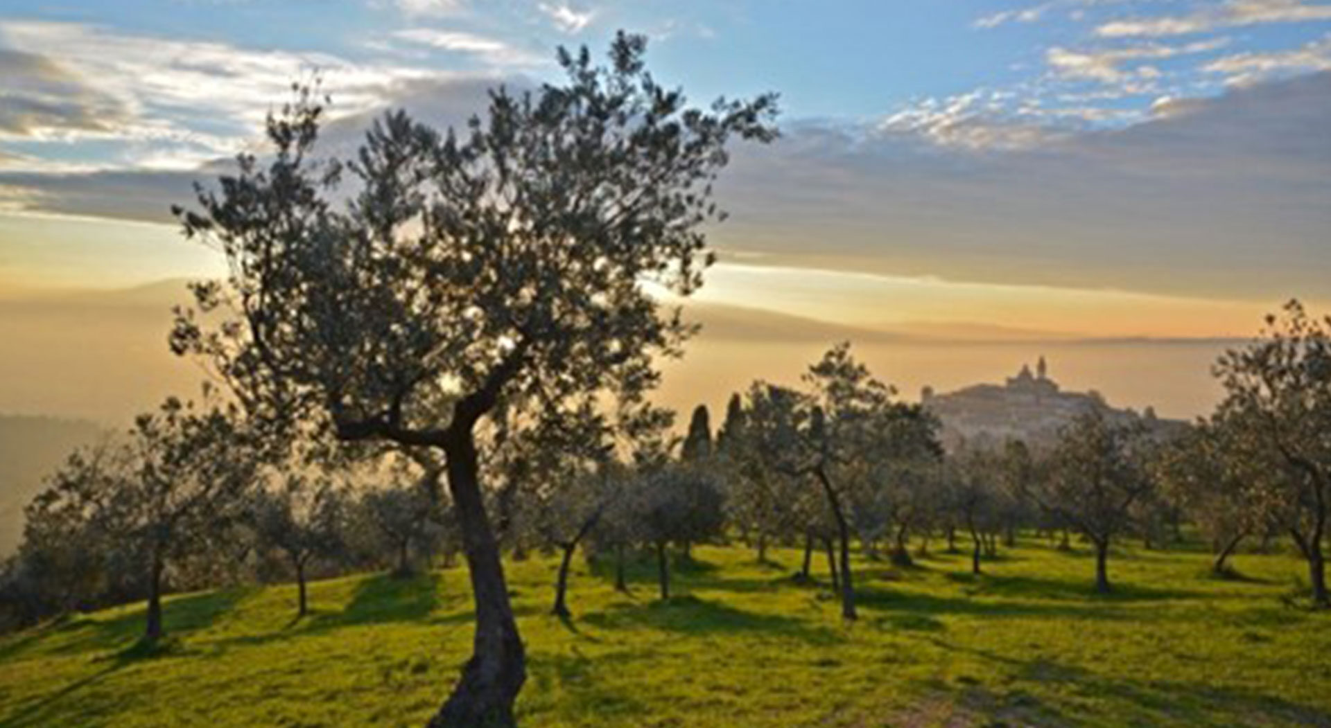
Trail name and description Location: Umbria (Italia) 42°57’24” N 12°45’43” E Level & Scale of difficulty used for hiking E (For more …
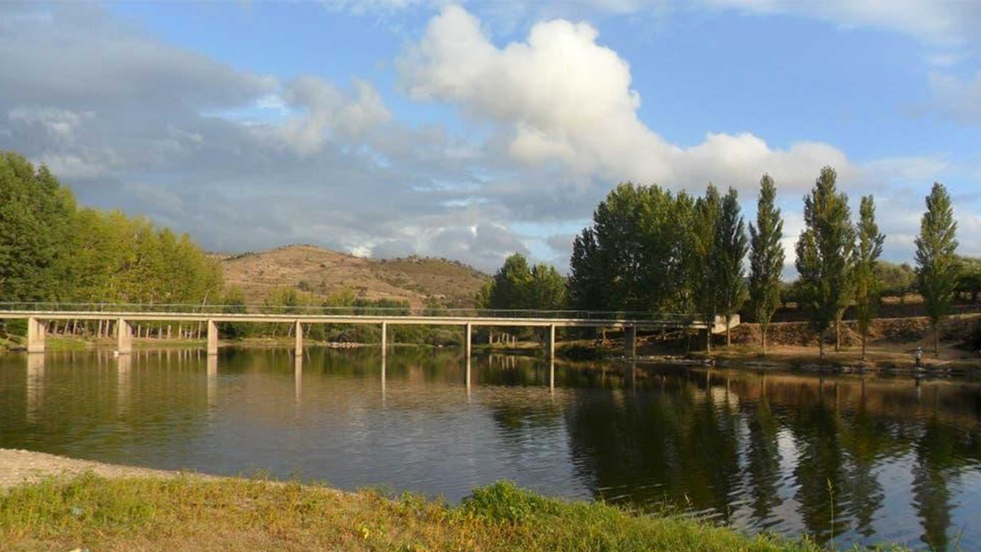
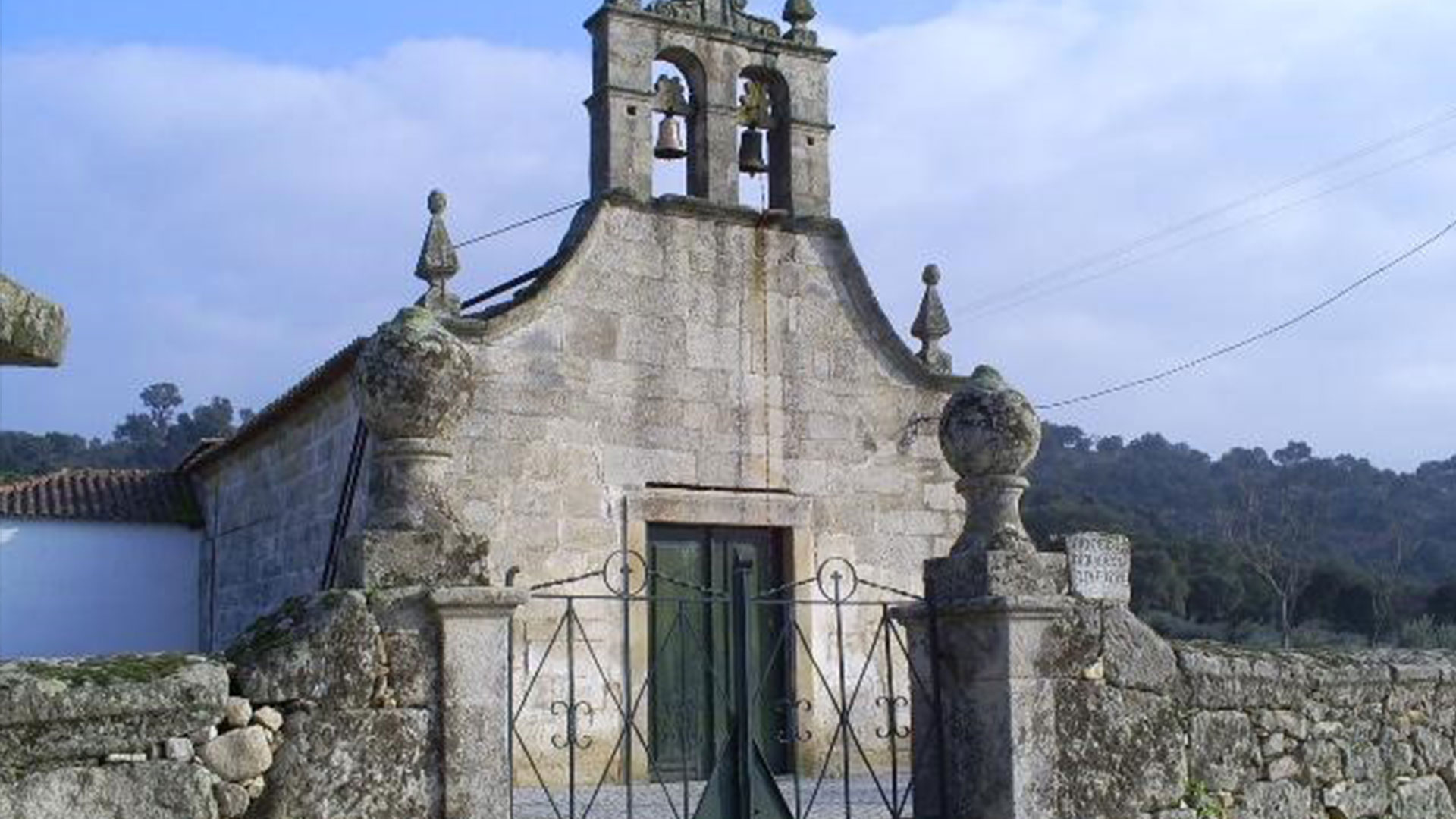
Trail name and description Municipality of Mirandela in Portugal, 29T 650480,37 E; 4596589,73 N Level & Scale of difficulty used for hiking …
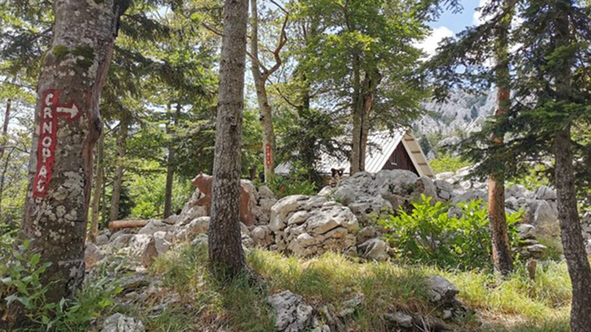
Trail name and description Location: Crnopac mountain (Croatia) 44.25373, 15.8107 Level & Scale of difficulty used for hiking E (For more info …
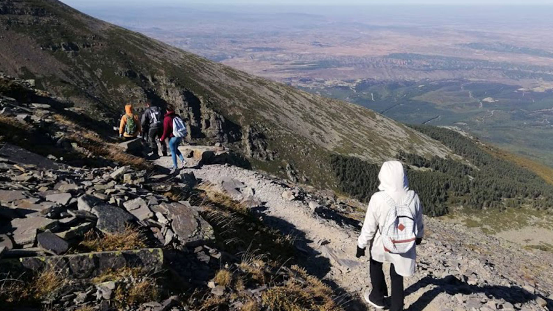
Trail name and description Province of Zaragoza 41°47′17″N 1°50′18″O Level & Scale of difficulty used for hiking E (For more info have …
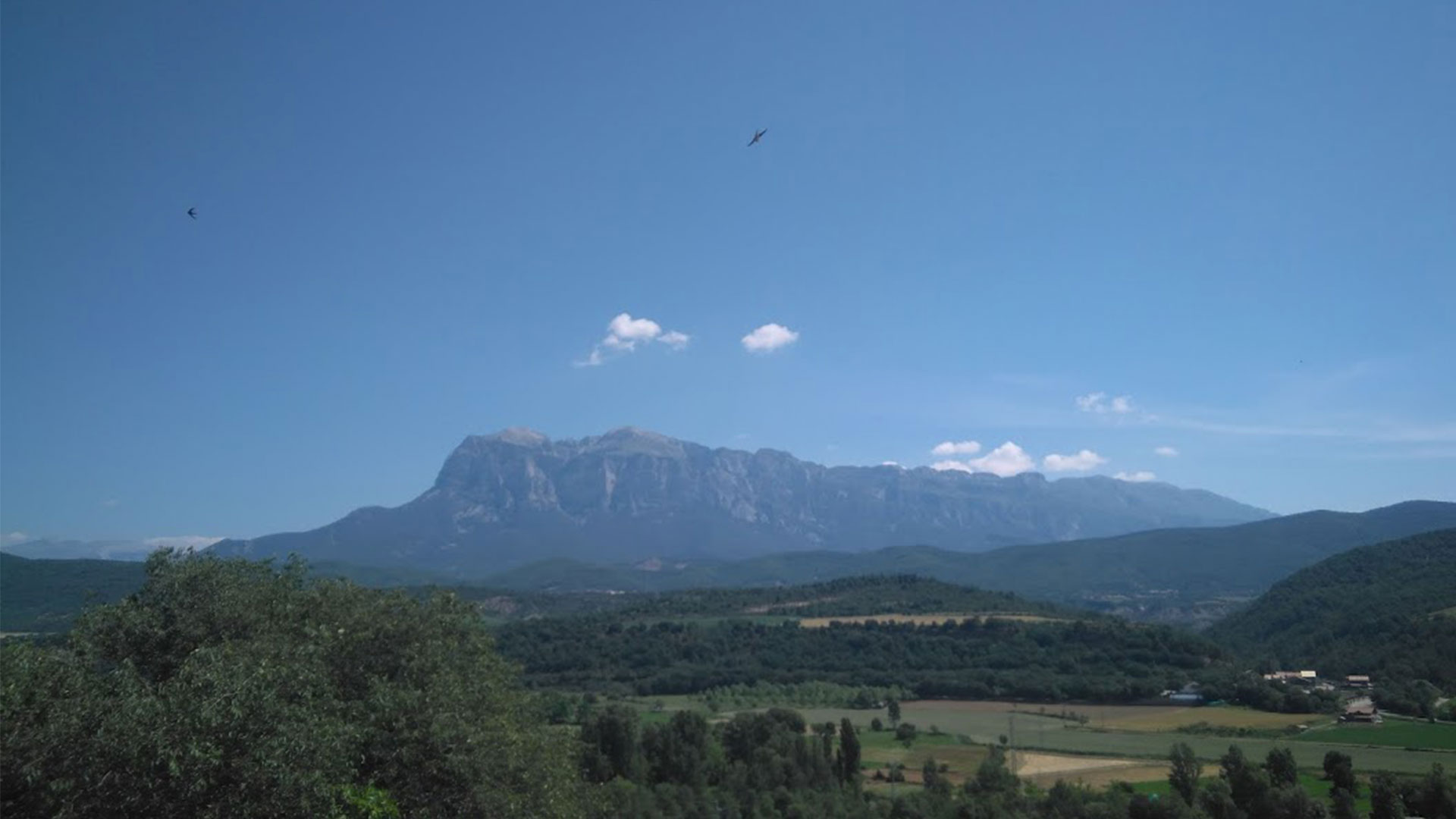
Trail name and description Location: Umbria (Italia) 43°4’12”36 N 12°37’2”64 E Level & Scale of difficulty used for hiking E (For more …
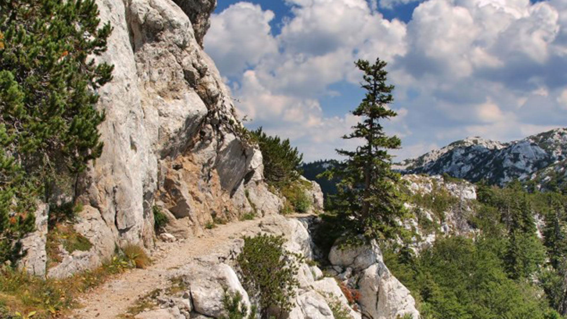
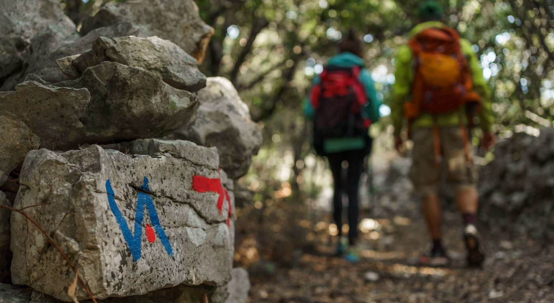
Trail name and description Location: Velebit From Alan (44.7214, 14.9693) to Zavižan (44.8143, 14.9758) Level & Scale of difficulty used for hiking …
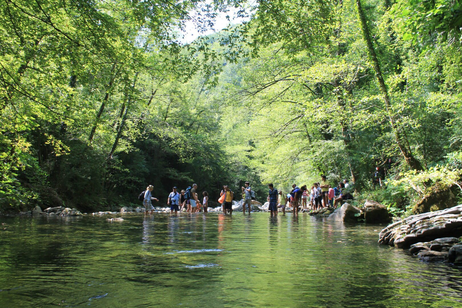
Trail name and description Cilento, Vallo di Diano and Alburni National Park Municipality of Rofrano (Province of Salerno) 40.214142, 15.418313 Level & …
Trail name and description Cilento, Vallo di Diano and Alburni National Park Municipalities of Cannalonga (Province of Salerno) and Rofrano (Province of …
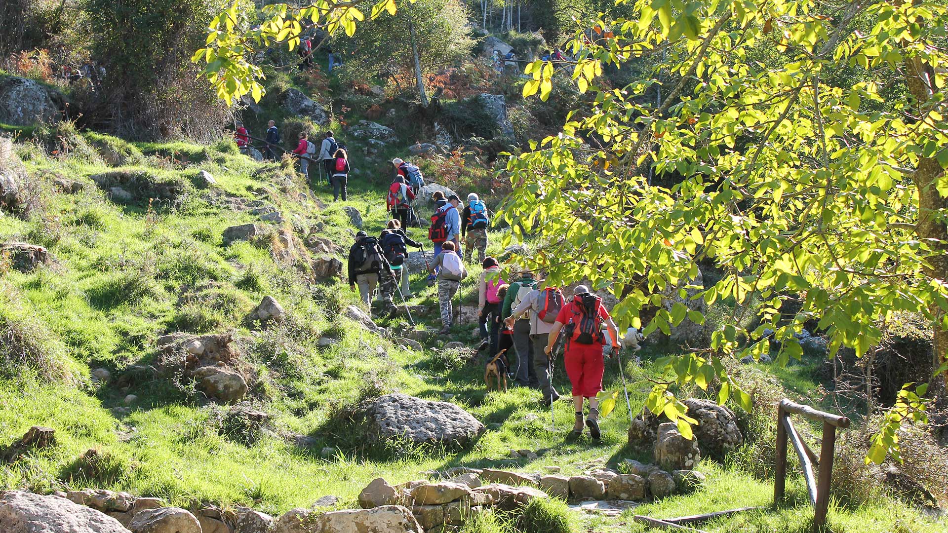
Trail name and description Municipality of Mirandela in Portugal, 29T 653434,92 E; 4586060,81 N (starting point) 29T 651680,12 E; 4593876,09 N (arrival …
Trail name and description Municipality of Mirandela in Portugal, 29T 658023,75 E; 4596862,26 N (starting point) 29T 652115,70 E; 4594754,41 N (arrival …
Trail name and description Name of the area: Asciano Pisano 6 km from Pisa (Italy) N 43°44’55.52” E 010°28’10.01” Level & Scale …
Trail name and description VA Via Apsyrtides From Cape Jablanac; 45.17513, 14.32246 to Cape Radovan; 44.44139, 14.57888 Level & Scale of difficulty …